About Roadessy

Transforming road data collection and visualization with intelligent geospatial tools.

Our Mission

At Roadessy, our mission is to revolutionize how road infrastructure is monitored, assessed, and prioritized. We offer innovative tools that streamline data collection, enable intelligent analysis, and support evidence-based decision making for transport agencies and urban planners.

Meet the Team

Lead Photo

Professor Samuel Ato Andam-Akorful

Associate Professor of Geospatial Science

Founder & Technical Lead

Prof. Samuel brings 15+ years of experience in geospatial systems, road asset management, and AI-driven analytics. He leads the innovation and research strategies at Roadessy.
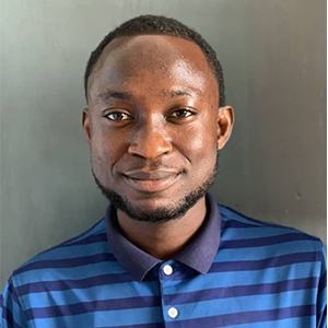
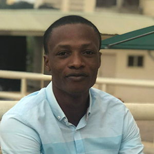
Enoch Anning

Enoch Anning

Data Scientist & Product Manager

Thomas Burns Botchwey

Thomas Burns Botchwey

Software Engineer & Geospatial Analyst

Paul Williams-Peniel

Paul Williams-Peniel

Software Engineer & System Administrator

Priscilla Etornam Barasu

Priscilla Etornam Barasu

Marketing & Finance Manager

Priscilla Etornam Barasu

Samuel Appiah-Kubi

Software Engineer

Partner Centers

TRECK

The Regional Transport Research and Education Center Kumasi (TRECK) supports research in transportation systems, offering technical expertise and infrastructure for joint projects.

GIRCK

The Geospatial Innovation Research Center Kumasi (GIRCK) partners with Roadessy on spatial data innovation, advanced mapping, and geovisual analytics.

Our Values

Innovation

We harness technology to solve real-world infrastructure challenges.

Integrity

We operate transparently and uphold data ethics in every project.

Impact

We focus on delivering measurable outcomes for communities and cities.

Want to collaborate or learn more?

We're always open to partnerships and new challenges. Get in touch to see how we can work together to build smarter transport infrastructure.

Contact Us